Due to Super Typhoon Pepito, Albay and Catanduanes Experienced Storm Surge
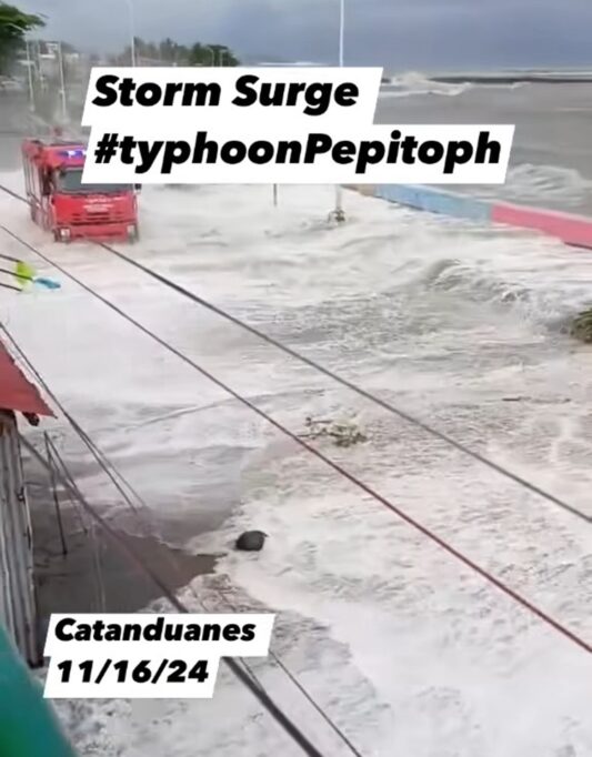
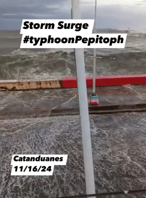
STORM SURGE – Catanduanes and Albay experienced storm surges as the Bicol Region braces for the impact of Super Typhoon Pepito.
In Catanduanes, storm surges were reported early Saturday morning, with rising sea levels causing serious concern. Fire trucks were seen urging residents to evacuate, highlighting the imminent threat of destruction as the storm approached.
On the other hand, in Albay, storm surges also caused sudden rises in sea levels, particularly in Brgy. Lourdes, Tiwi, where Signal No. 3 has been raised. The storm surge is expected to continue affecting coastal areas in Albay, with further threats as Pepito moves closer.

Meanwhile, as of 10:00 AM on November 16, 2024, the eye of Super Typhoon Pepito was located 185 km east of Catarman, Northern Samar, with maximum sustained winds of 185 km/h and gusts of up to 230 km/h. The typhoon is moving west-northwestward at 25 km/h, with its powerful winds extending outward up to 440 km from the center.

PAGASA has issued multiple Tropical Cyclone Wind Signals (TCWS). Signal No. 4 is in effect over parts of Catanduanes and northeastern Camarines Sur, posing severe threats to life and property. Signal No. 3 has been raised in areas including Camarines Norte, Camarines Sur, Albay, Sorsogon, and some provinces in the Visayas, with storm-force winds anticipated. Meanwhile, TCWS No. 2 and No. 1 are in place in other areas, where gale-force and strong winds are expected to cause varying degrees of damage.

Super Typhoon Pepito is forecasted to make landfall near Catanduanes either tonight or early tomorrow morning, with a potential shift toward the eastern coasts of Camarines Sur or Albay. Heavy rainfall, strong winds, and storm surges are expected across the Bicol Region, Quezon, Aurora, Nueva Ecija, and parts of Northern Luzon. Although the typhoon is likely to weaken after landfall, it is expected to remain a typhoon until it reaches the West Philippine Sea by Monday.

Residents in affected regions are strongly advised to take precautionary measures, adhere to evacuation orders, and stay updated on the latest advisories. Coastal areas are at high risk of life-threatening storm surges, with wave heights potentially exceeding 3 meters. Sea travel remains hazardous, especially along the eastern and southern seaboards of Southern Luzon and the Visayas.
